According to investors and industry participants, the National Geospatial Policy, 2022, which was announced last week, can aid India in creating a private startup environment. The policy’s objectives, such as building India’s National Digital Twin, developing highly accurate topographical models, encouraging the blue economy, etc., may assist boost private entrepreneurs in the near future.
To meet its goals, the sector must overcome obstacles such as a lack of clarity on foreign direct investments (FDI) in geospatial businesses and a high-resolution satellite data ecosystem that is still in the early stages of development.
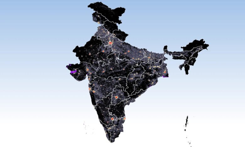
The policy outlines a 13-year roadmap for the adoption and development of use cases of geospatial data in public governance and private commercial operations, promotion of homegrown startups, creation of a “National Digital Twin,” development of highly accurate topographical data including a digital elevation model, using geospatial data to develop an undersea economy, and more.
From India’s commercial geospatial sector, the policy has received favourable feedback. “With the policy, the government realizes the need to create an ample base of geospatial data, and enable an ecosystem of private companies to build commercial products using this data,” said Sajid Malik, chairman and managing director of homegrown mapping services firm, Genesys International.
For instance, Genesys is now working on a programme to create digital twins of Indian cities, which has been envisioned as a national aim under the strategy. “This leaves us now in a position as a provider of a key technology for building India’s future,” he added.
Malik argues that the establishment of privatisation guidelines will assist Genesys in gaining more customers for its assortment of offerings. In December of last year, Genesys unveiled intentions to employ aerial and satellite data to make super high-resolution duplicates of cities, dubbed “digital twins.” It is a 46-crore initiative to digitise land records in Andhra Pradesh, and it has teamed with UK-based Bentley Systems to implement the project.
The geospatial policy places priority on providing a supportive business environment for domestic companies, according to Agendra Kumar, managing director of Noida-based private geospatial data provider Esri India. “This should help private companies build new applications using the data,” he said.
Section 2.2.5 of the policy, which outlines the goal of generating a “high precision geoid for the whole country,” is another clause that supports business use cases for private entrepreneurs. A geoid, commonly referred to as Earth’s mathematical figure is a representation of the ocean’s surface devoid of tides.
The government’s initiative, according to Chaitanya Giri, a consultant at the policy think tank Research and Information Systems for Developing Countries (RIS), is focused on creating the sector from scratch.